3D terrain navigation
Navigate against the geometry of the landscape when GNSS positioning is unavailable.
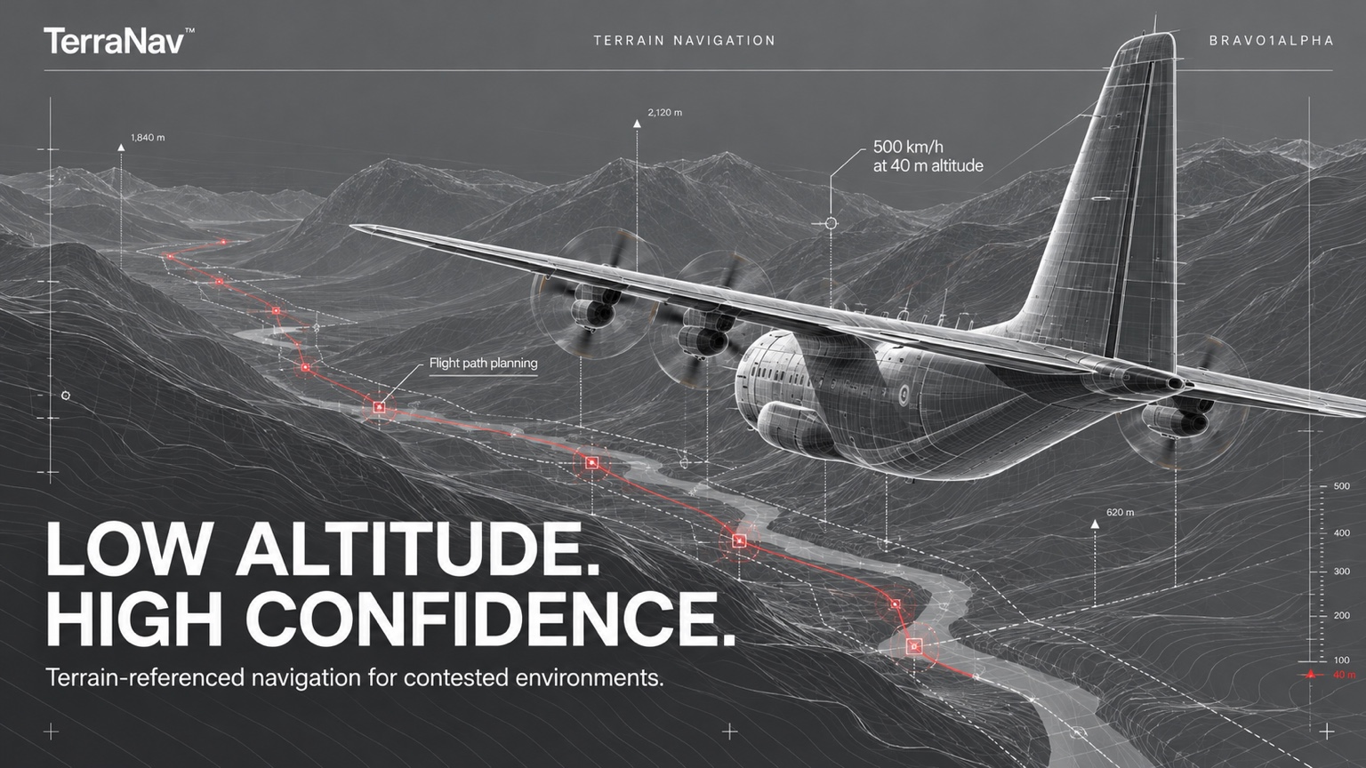
Terrain-referenced navigation for contested environments.
500 km/h at 40 m altitude. Flight path planning.
A spatial reference beyond GNSS.
TerraNav™ is a Bravo1Alpha product for drones and effectors operating when satellite positioning is unavailable. The software combines 3D terrain navigation, flight path programming and optical object avoidance.
Tested at speeds of up to 500 km/h and an altitude of 40 m, TerraNav brings terrain, route and object awareness into one navigation environment.
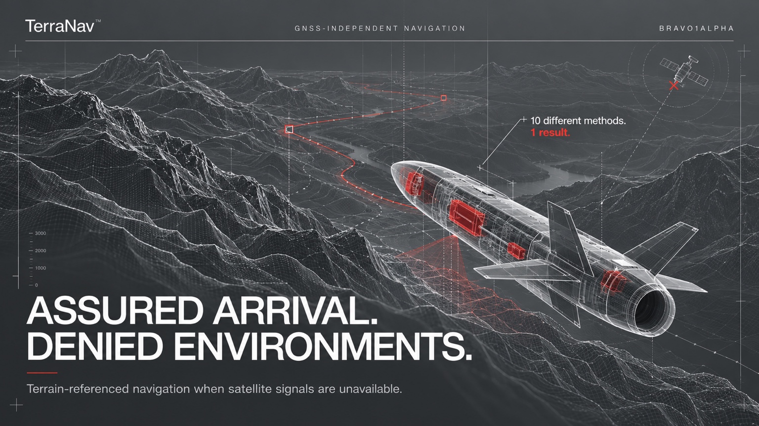
Terrain-referenced navigation when satellite signals are unavailable.
10 different methods. 1 result.
Inspect terrain geometry, waypoints and object clearance.
Drag to rotate the 3D view.
3D terrain geometry provides the navigation reference.
Animated product demonstration. Terrain, buildings and flight paths are illustrative.
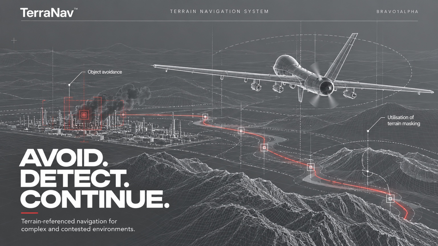
Terrain-referenced navigation for complex and contested environments.
Object avoidance. Utilisation of terrain masking.
Three capabilities in one navigation environment.
Navigate against the geometry of the landscape when GNSS positioning is unavailable.
Define waypoints and review the programmed route within its 3D terrain context.
Bring objects, obstacles and the flight path into a shared spatial view.
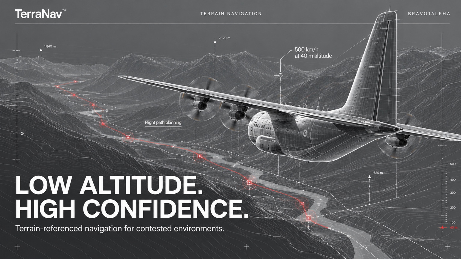
Terrain-referenced navigation for contested environments.
500 km/h at 40 m altitude. Flight path planning.
Terrain-referenced navigation
for drones and effectors.
Terrain-referenced navigation uses the geometry of the landscape as a positional reference. TerraNav uses a 3D terrain model to support navigation when GNSS is unavailable.
TerraNav has been tested at flight speeds of up to 500 km/h and a flight altitude of 40 m. These figures represent tested system performance.
Flight path programming defines the waypoint sequence in the 3D terrain environment. Optical object awareness supports obstacle avoidance as the aircraft follows the route.
The interactive demonstration shows terrain reference, waypoint navigation and optical object avoidance. Select a platform, rotate the terrain or pause the sequence to inspect the scene.
A BRAVO1ALPHA PRODUCT
Contact Bravo1Alpha to discuss TerraNav capabilities, platform integration or a product demonstration.
Contact Bravo1AlphaContinue to Bravo1Alpha’s contact form.